Software
Looking for software packages to enhance your airborne surveying equipment? Look no further! At Sunbelt Sales, we offer a range of software packages designed to work seamlessly with Unmanned Aerial Vehicles (UAV's) and other surveying equipment. As UAV's gain popularity in the industry, our software solutions are here to support your needs.
Our software offerings include crane camera solutions, drone-based mapping software, AutoCAD plug-ins, digital leveling suites, specialist apps, and much more. With our diverse range of options, you can find the perfect software to optimize your surveying operations.
For more information about our Survey Support Service, click here>>
Experience the convenience and efficiency of our Surveying Equipment Software from Sunbelt Sales. Browse our selection today and take advantage of our free delivery in mainland UK on all orders over £30.
Digital Levelling Suite
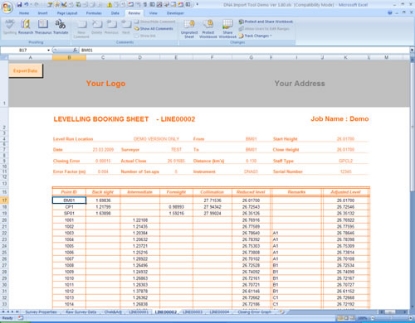
Digital level data processing - the answer you’ve been waiting for!
The Digital Levelling Suite program has been designed in conjunction with Land Surveyors who use the Leica LS10/15, DNA and SPRINTER levels on a day to day basis.
n4ce Lite
In addition to all of the functions of n4ce Survey, n4ce Lite has a fully interactive CAD and Model graphics environment. For setting out, contours, sections and volumes, with Design options available. The ideal package for the site based Engineer, Surveyor, Architect or Archaeologist.
n4ce Professional
Extends Lite features in all areas, includes River Sections and Design. For decerning users wanting quality presentations. Design options available.
n4ce Designer
Includes Professional but adds specialist applications for Geological Modelling, Mining, Railway Surveys, Alignment Design and more.
4Site Survey
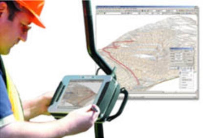
An AutoCAD Plug-in for processing and data capture from Total Stations and GPS receivers. Allows you to take your CAD system and drawings out into the field, for setting out.
Leica Infinity Survey Software
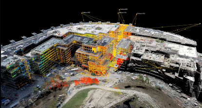
This user-friendly geospatial software is made to manage, process, combine, analyse, quality check and share field survey data from a range of survey equipment, including total stations, digital levels, GNSS systems and UAVs.
Leica Captivate Software
Don’t just see data, experience data
Never before has measurement technology provided such an intuitive experience or simple navigation. Incredibly easy to use software, instruments that you can trust and help that is only a click away – these combine to form an all-encompassing solution for your most challenging demands.
Leica GeoMoS Monitoring Solution
A flexible automatic deformation monitoring software solution.
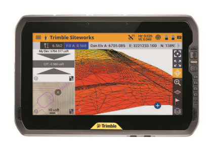
Trimble Siteworks Software
A field software for construction surveying that allows you to bring the constructible model with you for a more connected site.
BricsCAD Pro Software
BricsCAD Pro Software is CAD software for 2D Drafting and 3D modeling, supporting industry-specific apps. It is ideal for applications in Plant design, GIS, Structural, Civils, Mechanical, HVAC and AEC.

