Software

-
4Site Survey
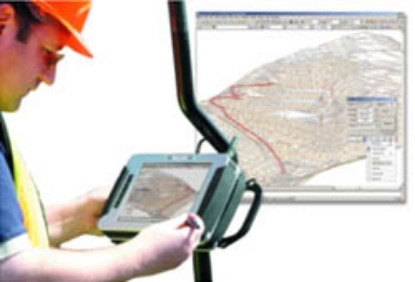
4Site Survey (both for AutoCAD and Stand Alone) requires a portable tablet PC, preferably ruggedised, which connects with your total station or GNNS receiver using cables or blue tooth. Readings are recorded directly into 4Site, creating a survey in front of your eyes. For 4Site Survey working drawings can be taken into the field for setting out or checking as built surveys. Most survey instruments are supported including Leica (robotics), Topcon, Sokkia and early Trimble instruments.
Learn More£950.00 exc. VAT £1,140.00 inc. VAT -
Digital Levelling Suite
Digital level data processing - the answer you’ve been waiting for!
Learn More
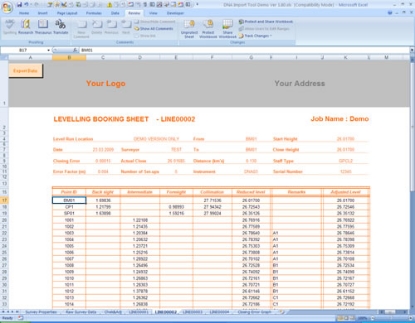
The Digital Levelling Suite program has been designed in conjunction with Land Surveyors who use the Leica LS10/15, DNA and SPRINTER levels on a day to day basis.
It has been designed to overcome some of the short falls with the Leica LS10/15, DNA and SPRINTER software, to allow easy conversion from the raw data file to a standard Levelling Book format.£250.00 exc. VAT £300.00 inc. VAT -
Leica Geo Office
With Leica Geo Office use the most powerful tools all integrated in one common software to finalise your work faster today and tomorrow.
Learn MoreCall For Price -
n4ce Designer
Includes Professional but adds specialist applications for Geological Modelling, Mining, Railway Surveys, Alignment Design and more.
Learn More£3,500.00 exc. VAT £4,200.00 inc. VAT -
n4ce Lite
In addition to all of the functions of n4ce Survey, n4ce Lite has a fully interactive CAD and Model graphics environment. For setting out, contours, sections and volumes, with Design options available. The ideal package for the site based Engineer, Surveyor, Architect or Archaeologist.
Learn More£1,500.00 exc. VAT £1,800.00 inc. VAT -
n4ce Professional
Extends Lite features in all areas, includes River Sections and Design. For decerning users wanting quality presentations. Design options available.
Learn More£2,500.00 exc. VAT £3,000.00 inc. VAT