Software
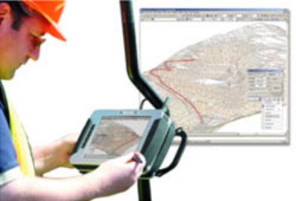
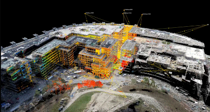
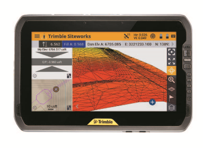
Looking for software packages to enhance your airborne surveying equipment? Look no further! At Sunbelt Sales, we offer a range of software packages designed to work seamlessly with Unmanned Aerial Vehicles (UAV's) and other surveying equipment. As UAV's gain popularity in the industry, our software solutions are here to support your needs.
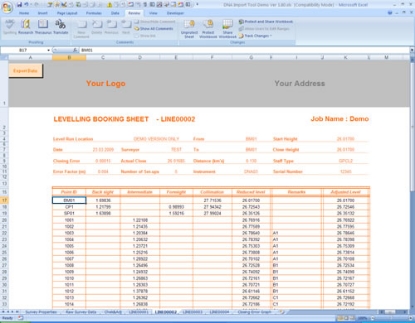
Our software offerings include crane camera solutions, drone-based mapping software, AutoCAD plug-ins, digital leveling suites, specialist apps, and much more. With our diverse range of options, you can find the perfect software to optimize your surveying operations.
For more information about our Survey Support Service, click here>>
Experience the convenience and efficiency of our Surveying Equipment Software from Sunbelt Sales. Browse our selection today and take advantage of our free delivery in mainland UK on all orders over £30.